The pivotal role of public spaces in successful urban design
The UN World Urbanization Prospects report estimates that, by 2050, 68% of the world’s population will live in urban areas. With such a large proportion of humanity living within our crowded towns and cities, our urban public spaces will be increasingly vital for enabling people to exercise, socialise, interact with nature and just not feel hemmed in by the built environment. In this Insight paper, Architect Bianca Anastasiu, from our Shanghai studio’s Urban Planning team, writes about how the public space strategy can determine the success or failure of an urban masterplan and about the detailed contextual understanding required to conceive and deliver appropriate and vibrant public spaces for each location.
Public space as important as the buildings themselves
Shared outdoor space is the lifeblood of a city, performing an essential role in shaping urban daily life as well as providing the stage for social interaction and other activities, including culture, entertainment, sport, dining, relaxation and commercial activities. Any fascinating and vibrant city will accommodate diverse activities for its people by offering more desirable and attractive public spaces.
In urban design projects, the space created is just as important as the buildings, maybe even more so. The success of a building is often predicated upon the way in which the surrounding public space activates the vicinity of the building. There is a mutual dependency between public spaces and buildings; the public space needs buildings to provide it with meaning and purpose, while the building needs the public space to attract people to use it. The synergy created by the interaction of both is crucial to the viability of an urban masterplan.
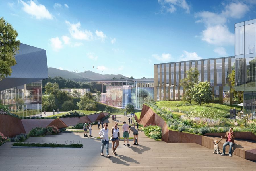
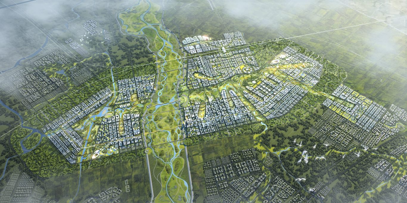
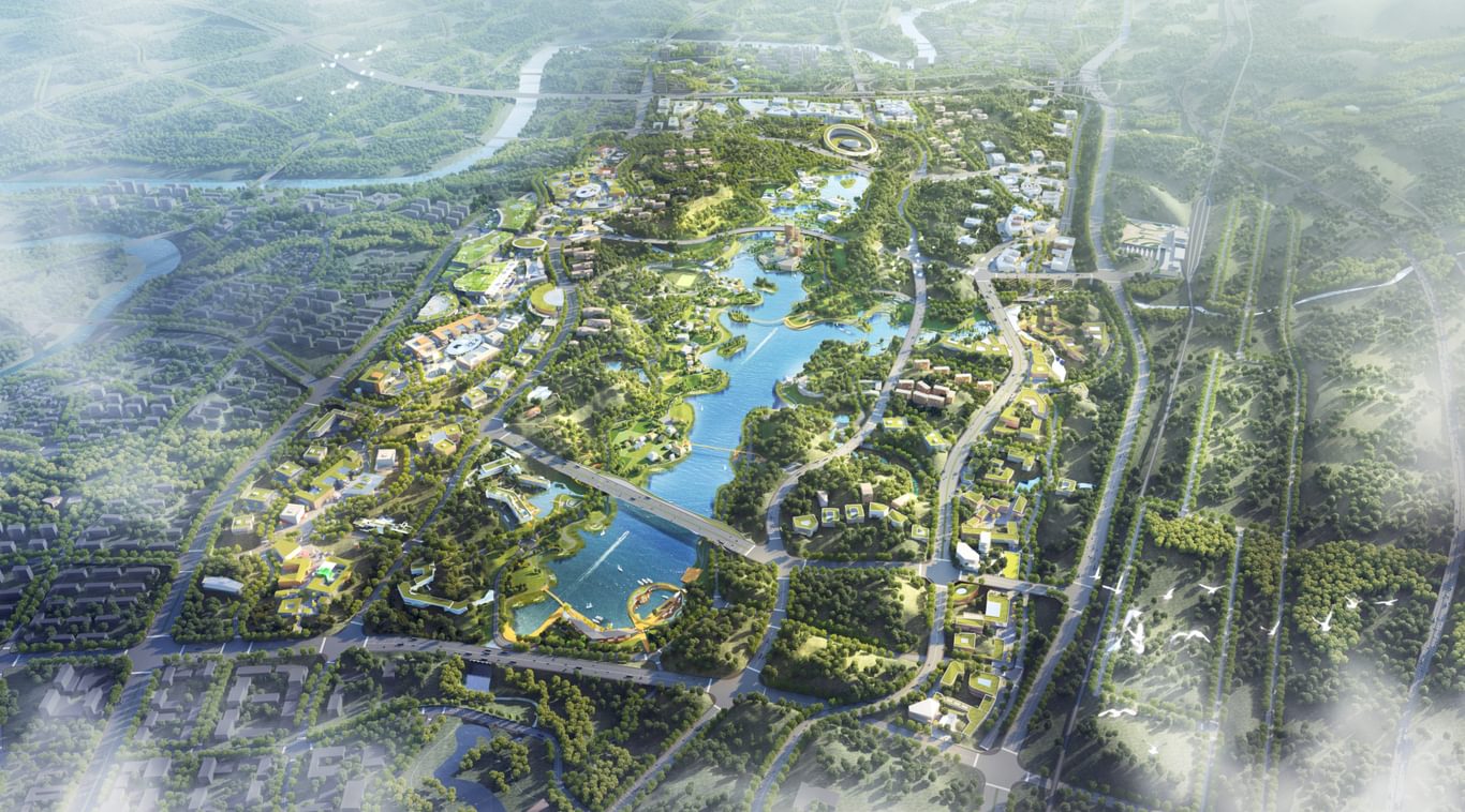
At Liangjiang Collaborative Innovation Zone in Chongqing, for example, public spaces are crucial for the success of the five innovation campuses within the scheme. Designing core social spaces for each campus where people can meet, socialise, innovate, share and collaborate was the starting point. In addition, the central spine provides a strong connection between the campus cores, itself acting as an extended public space, and this, in turn, allows the planning strategy to evolve organically.
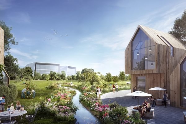
On this project, nature is the prime design generator, with the great benefits of this approach including the aesthetic appeal, the boost to biodiversity, the opportunity for people to immerse themselves in nature for their physical and mental health. The ability to capture and store rainwater to prevent flooding and to even out water supply throughout the year is in line with Sponge City design principles and our overall Responsible Design approach to all our projects.
At the core of placemaking
One of the key strategies in placemaking is transforming public spaces to strengthen connections between people and the spaces they share. It is community-driven, visionary, adaptable, inclusive, dynamic, transformative and flexible, focused on creating destinations and putting function before form.
Placemaking is about more than just one particular space, it’s about the entire network of spaces and about sequences, connectivity, variety and discovery. The overall sense of place can be found and articulated in how all these spaces define, and find their place within, the city. Every walkable route, every plaza and every turning point are part of one larger story, the story of the people-orientated future city.
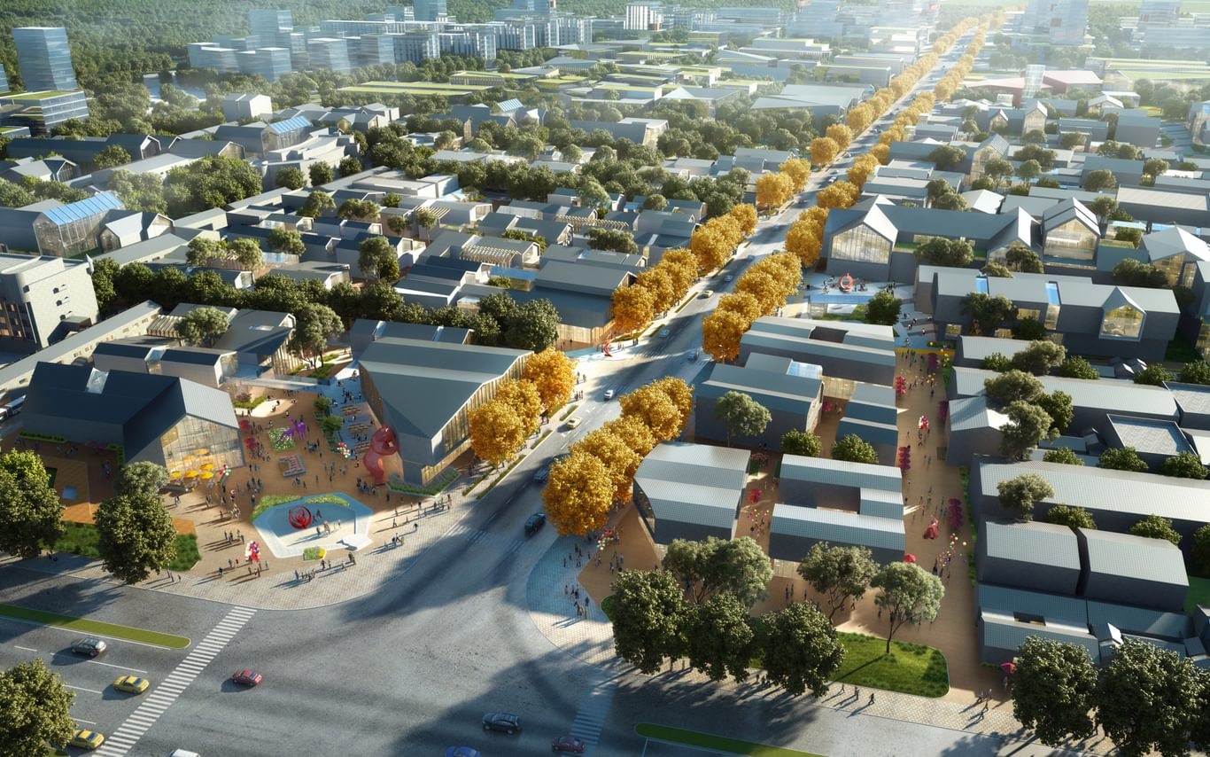
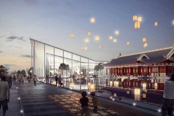
Placemaking was a core strategy in our masterplan for a new urban cultural district in the largest and best-known artists’ community in China – Songzhuang Xiaopu Artists’ Town, which has been home to over 7,000 artists since the 1990s. We examined images of the district going back over more than 20 years and gained a good understanding of how the urban texture was blending with nature before the appearance of so many new buildings. The district lost the most important element that was strengthening the artist community: shared public space.
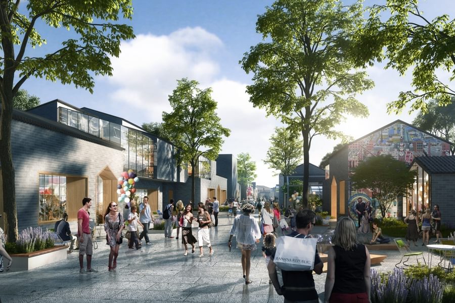
We identified the buildings of historical and cultural value so that these could be retained and enhanced, taking out some of the remaining buildings to create a varied system of public spaces with different themes and characteristics. Well-known restaurants or artists’ residences gained useful surrounding space within which people could gather and experience, with sufficient room for pop-up workshops or stalls to showcase or sell the artists’ works. A network of public paths link all of these spaces and create a sense of them being part of one, larger, culturally unified space.
With strong focus on the important role of placemaking, the district is offered a chance to breathe, to express itself and to create a strong sense of identity, where previously the area has been claustrophobically dense with buildings of little merit.
Public spaces, research and smart technology
Designing with the future in mind, technology can help us design for uncertainty about the nature of the future city and the role of public spaces.
We conduct extensive research before every masterplan, including in terms of where public spaces are placed, what their characteristics could be, who will use the spaces and for what the spaces will be used. This means identifying what the place is known for, what cultural activities thrive within the wider area, what the local traditions and pastimes are, what the demographic mix is, how we expect (or want) the place to evolve, and many other aspects which combine to create the unique identity of that area. Some of the research is as simple as asking the community, and there is a degree of intuition involved – there is no one-size-fits-all methodology or checklist which serves all our projects.
One very useful tool is the GIS analysis that we use on all of our masterplan projects, with research and output in relation to the ecology, topography, landscape, climate, population, infrastructure and other aspects of the spaces we work in. We can input, for example positioning of natural resources, or where the key residential and commercial or leisure areas are; overlaying these maps can give us a good idea of where people would want to go to congregate, browse, relax, etc.
Smart technology has the potential to multiply the utility and value of our public spaces by allowing us to collect the data needed to analyse how they are used and to ensure that they are meeting the needs of the people who live in the area. The information can guide how the spaces evolve and provide us with an insight into how the space can be used more efficiently, flexing in response to changes in how they are used on different days, at different times of day and in different seasons.
This was the approach in one interesting study, where people volunteered to wear GSR (galvanic skin response) sensors, as part of a process called “Bio Mapping”, as they walked or cycled through the public spaces in various urban districts, with the technology recording when they felt anxiety, happiness, fear, excitement and other emotions. 1
The measurement is made possible by the autonomic response of sweat glands to emotional stimulation, with different emotions displaying distinctive GSR data patterns allowing the precise time and location of each emotional response, and the nature of the response itself, to be recorded in real time in conjunction with GPS location data. This then draws an “emotional map” of each volunteer’s route.
These feelings could then be linked to corresponding phenomena, such as bright lights, darkness, traffic, greenery, crowding and noise. Anxiety was particularly marked in places where there were busy road junctions, crowds of people and a lot of noise and visual stimulation. The data collected allowed the researchers to gain invaluable insights into how best to arrange the space and to manage its functionality to make it less stressful and more people-friendly and enjoyable.
Using GSR technology in this way is one of several ways in which the urban design process could be transformed in the coming years, allowing us to gain a much better idea of the likely psychological responses to a range of different public space proposals. It could be that the technology is also adopted by planning authorities and used as one of many factors which influence their decision on whether to permit the implementation of an urban design or not.
People are at the core of the research for any good public space strategy – who will be using the space and what kind of space will best serve them? If urban design is not people-centred, what would be the point? Behavioural science is a good tool for understanding the anthropological context within which a public space will sit, helping us to ensure that our intervention best serves, not just people, but these people – those who will use the space – and their particular needs.
The influence of 15-Minute Living design principles
It is now commonplace for our masterplans to follow 15-Minute City principles – designing an urban district so that all of the uses and amenities a person needs can be found within a 15-minute walk of where they live, with those functions placed intelligently so that the shorter journeys are for more regular trips.
15-Minute Living inherently involves compact mixed-use neighbourhoods with all the necessary retail, office, leisure, hospitality, civic, religious and service buildings close together. However, the spirit of the 15-Minute Living principles requires us to think about more than just convenience and minimising the journey between the home and the required amenity, particularly if the short journeys mean very little time spent outdoors. People also need public space – somewhere to stretch their legs, exercise, socialise, experience nature, feel the sunshine, hear birds sing and boost their mental and physical wellbeing. The path between the indoor starting and indoor finishing point needs to be enjoyable and people-friendly, not just functionally efficient, so that there is value in the walk itself.
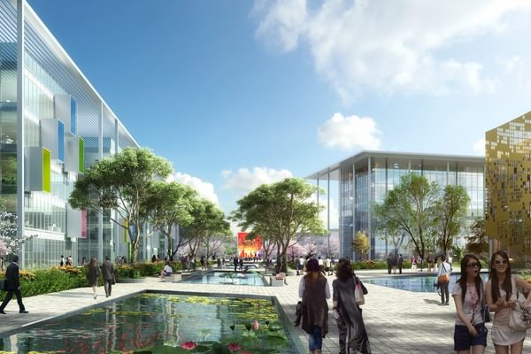
Our 15-Minute Living masterplan for Xiong’an New Area placed a strong emphasis on the physical and mental wellbeing of people of all ages and levels of ability. The new public spaces include plazas, neighbourhood pocket parks, waterfront activities, city boulevards and an active interface between the buildings and the public space, with a strong emphasis on blending the urban and natural worlds.
At its core is a central green park (designed by Martha Schwartz Partners) as the major shared public space. The park is zoned to create different themed areas and attractions, with the transition areas between the landscape and the buildings providing a beautiful and vibrant space for a mix of events, amenities, relaxation, exercise and socialising.
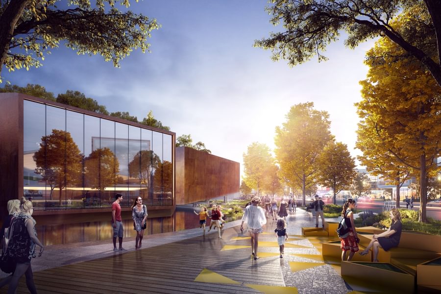
We have recently been working on another 15-Minute Living masterplan where the public spaces are geared towards creating connections between two cores – one based on a railway station hub and another on a cultural hub – with the public space acting as an axis and an uncluttered visual corridor with a variety of functions and activities lining the axis, all on a human scale. The purpose is to ensure that the journey from point A to point B is vibrant, enjoyable and people-centred.
Measuring success
Public space design is about promoting diversity, engagement, curiosity, integration, positive behavioural change and unexpected opportunities. Designing cities means looking at design from a much broader angle; it’s not about individual objects, it’s about interconnections, interactions and behaviours, providing spaces that engage all the senses, inspire and break down barriers. This can be achieved only by unifying the architect’s understanding of form with a psychological and sociological analysis of human behaviour.
There is a very interesting public space right on our studio’s doorstep here in Shanghai; a public plaza which should, in theory, be an urban design failure. There are very few seats, with very little greenery and nothing which offers great visual interest, besides a water feature. However, in the evenings, the space comes alive; when we leave the studio to go home, the plaza is full of people, some playing sports and games (even though they are not officially permitted to do so there), others playing with their dogs, parents accompanying their children and a typical Shanghai scene of older women dancing for exercise.
From the point of view of normal public space design principles, the plaza should be deserted, but instead it is thriving and a place of joy. This is why any good urban design must begin by considering the people who will use the public spaces – their culture, their habits and their needs. We can use smart technology, GIS analysis and high-level design principles, but the spaces will only work if people want to use them, so intuition, common sense and just talking to people are the most important components in providing the basis for the success of those spaces.
There are places like the above which organically become vibrant social hubs, but others require curation, with a managed programme of events, a carefully selected retail and leisure offer, such as pop-up and markets, or a unique narrative, to attract people and to give meaning to the space. Without intent, purpose or story, people tend to sleepwalk within the environment.
The role of urban designers is to identify the relevant digital, physical and cultural aspects of a place and to apply their intelligence and common sense to optimise the public spaces in a people-centred way. The parameters used to assess the success of public spaces relate to both physical and non-physical factors. Placemaking is not just about creating an entity or a physical space. As urban designers, we have a responsibility to understand every element that might contribute to, or undermine, the success of a public space, whether it relate to sound, light, texture, memory or narrative. We need to understand and pre-empt how these spaces will nurture, connect, teach and provide enjoyment.
There is no one formula for how to design a successful public place but, with a combination of urban design experience, extensive research and common sense, we can create synergy between the landscape, architecture, technology, communications infrastructure, transportation functions, the economic context, culture, history and, most importantly, the people. From this interaction, great public spaces with unique identities can emerge.
1. “Engaging the Senses: The Potential of Emotional Data for Participation in Urban Planning”, Afif Fathulla and Katharine S. Willis, Urban Science, 2018. For more on Bio Mapping, see “Emotional Cartography – Technologies of the Self”, Christian Nold (Ed.), 2009.

